MF-3T
UAV Flow Meter
Intelligent Flow Measurement
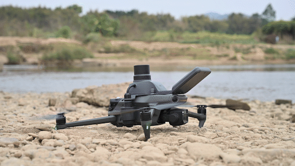
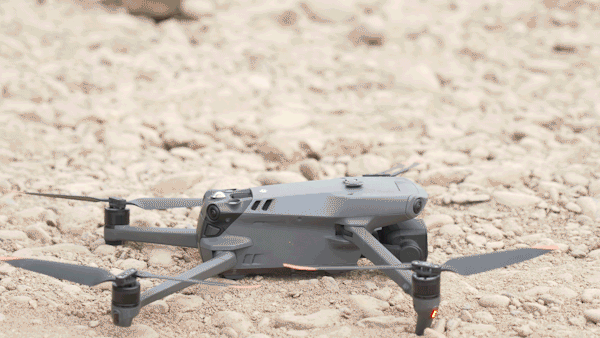
The First Flow Measurement Payload For Small Drones
Integrating three key functions: surface flow speed measurement, reference water level measurement, and RTK high-precision positioning.
The First Flow Measurement Payload
For Small Drones
For Small Drones
Weighing only
Professional
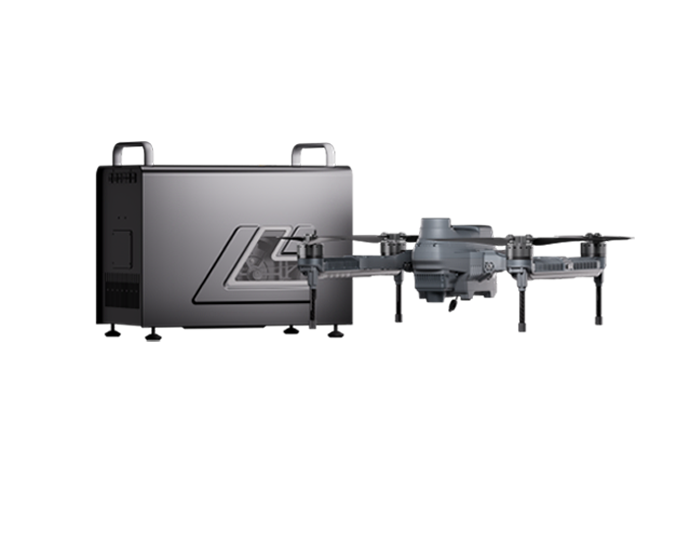
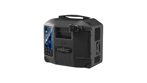
Supporting Software
Supporting Software
Multi-functional
integration
integration
Onboard RTK
Radar Velocity Sensor
Radar Depth Sensor
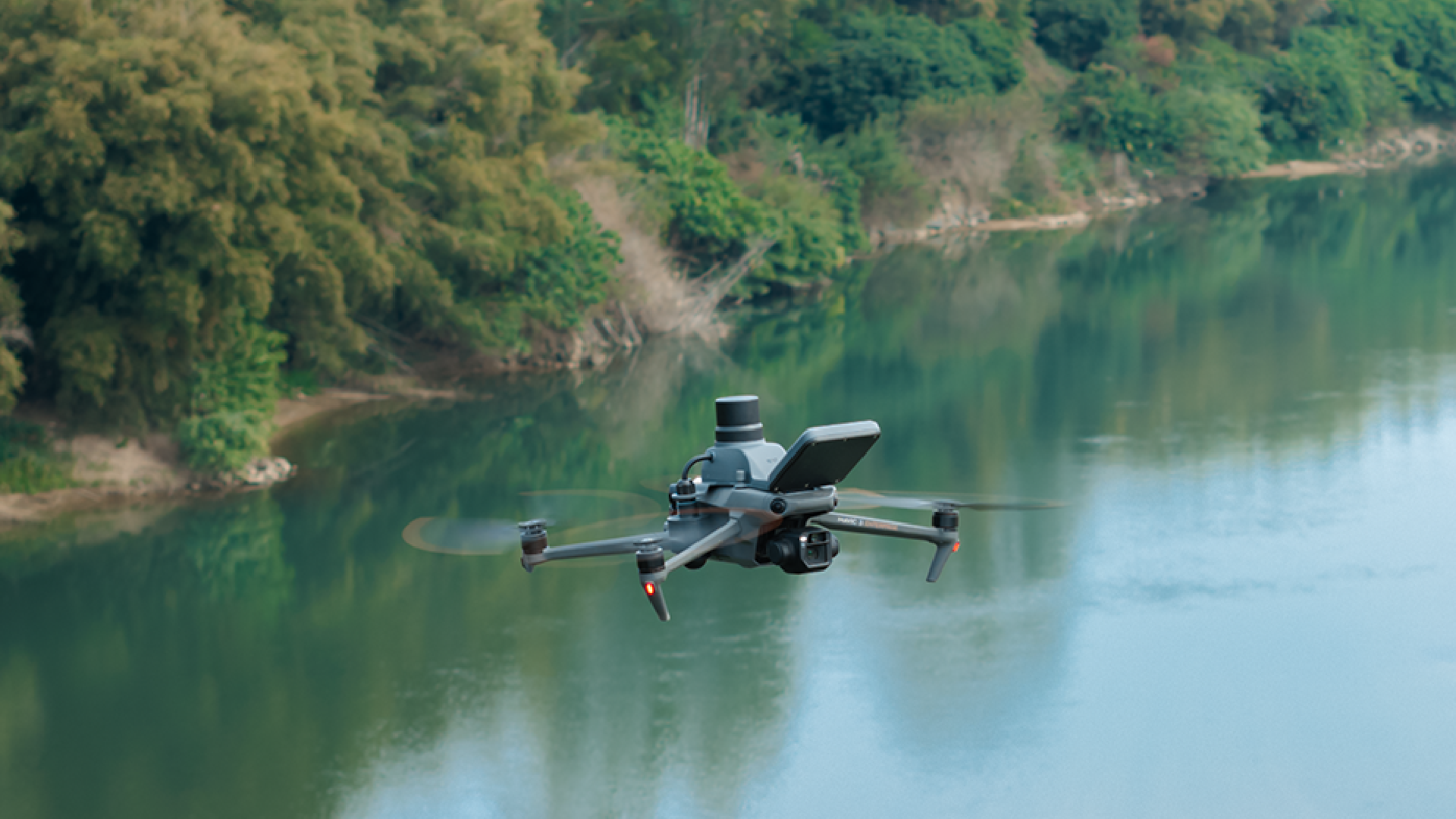
Aerial Vision for Flexible Flow Measurement

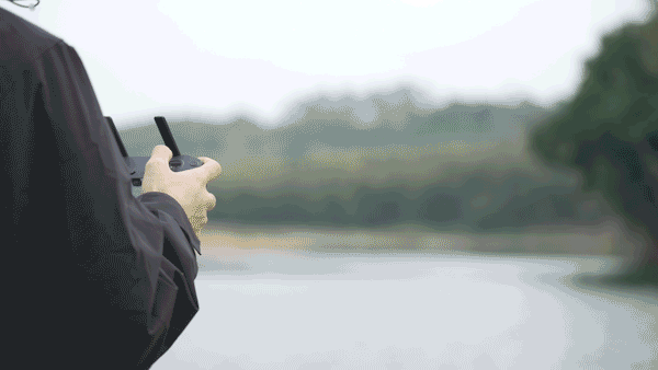
The first flow measurement payload for small drones on the market. Compared to traditional large drone flow measurement systems, it reduces flight costs and is easy to transport and carry.

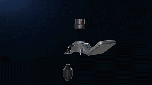
Three Functions Integrated for Efficiency
Combining radar depth measurement, radar velocity sensing, and onboard RTK, this system enables simultaneous acquisition of multiple water flow parameters, meeting diverse monitoring requirements
0.1~20m/s
velocity Measurement Range
0.18~30m
Distance Measurement Range
±0.01 m/s (when flow speed is < 1 m/s)
≤ ±1% F.S (when flow speed is > 1 m/s)
≤ ±1% F.S (when flow speed is > 1 m/s)
velocity Accuracy
CZI Pilot Precision Support
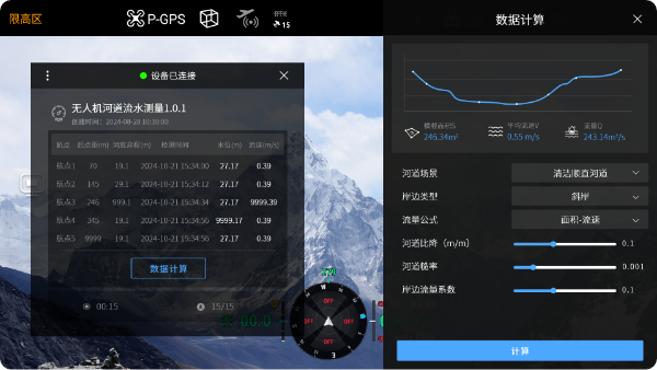
Equipped with professional flow measurement software offering three distinct measurement modes, suitable for routine hydrological inspections and flood emergency assessments. Features include options for river roughness, bank coefficients, and selection of measurement formulas, significantly enhancing data accuracy and professionalism.
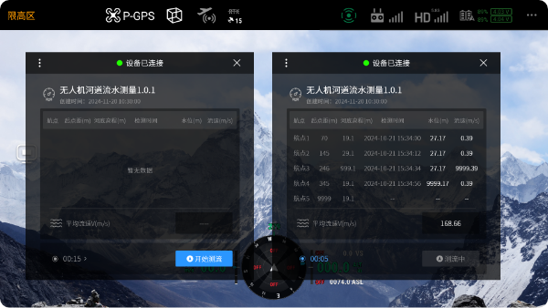
Manual Flight Measurement
Manual operation of the drone to measure single-point flow velocity.
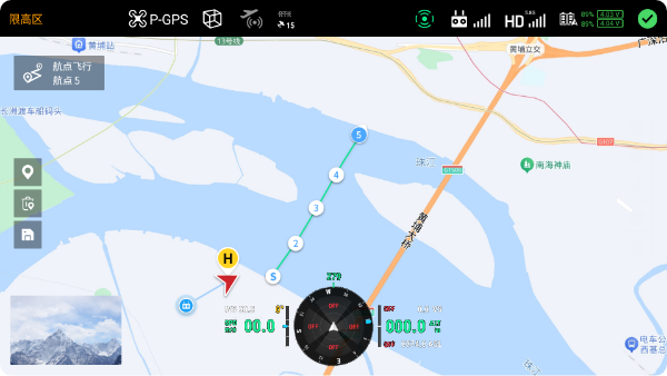
Map-Based Point Selection
Automatic Mission
Compact and Convenient with Long-Term Benefits
Weighing just 220 grams, the system is easily transportable to various challenging terrains such as rugged mountains or muddy fields. Its low-cost deployment, maintenance, and operation, coupled with high efficiency, provide robust support for long-term hydrological monitoring.